
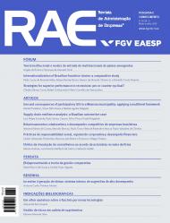
Use and consequences of participatory GIS in a Mexican municipality: applying a multilevel framework
Article Sidebar
Main Article Content
Abstract
This paper seeks to understand the use and the consequences of Participatory Geographic Information System (PGIS) in a Mexican local community. A multilevel framework was applied, mainly influenced by two theoretical lenses – structurationist view and social shaping of technology – structured in three dimensions – context, process and content – according to contextualist logic. The results of our study have brought two main contributions. The first is the refinement of the theoretical framework in order to better investigate the implementation and use of Information and Communication Technology (ICT) artifacts by local communities for social and environmental purposes.The second contribution is the extension of existing IS (Information Systems) literature on participatory practices through identification of important conditions for helping the mobilization of ICT as a tool for empowering local communities.
Downloads
Metrics
Article Details
A RAE compromete-se a contribuir com a proteção dos direitos intelectuais do autor. Nesse sentido:
- adota a licença Creative Commoms BY (CC-BY) em todos os textos que publica, exceto quando houver indicação de específicos detentores dos direitos autorais e patrimoniais;
- adota software de detecção de similaridades;
- adota ações de combate ao plagio e má conduta ética, alinhada às diretrizes do Committee on Publication Ethics (COPE)